
Mapping public food forests near you provides free, sustainable food access while reducing urban food insecurity. You'll discover community gardens, food banks, and harvest opportunities in real-time, transforming random foraging into strategic collection. These digital tools connect you with like-minded neighbors, educational workshops, and citizen science projects that strengthen local food networks. The maps highlight seasonal availability and wheelchair-accessible pathways, ensuring everyone can participate in this growing movement toward food sovereignty and environmental stewardship.
Finding Free Local Food Resources Through Digital Mapping
While traditional food access often relies on word-of-mouth information, digital mapping has revolutionized how people find free local food resources.
You'll discover nearby community gardens, food banks, mobile markets, and pantries offering both perishable and non-perishable items with just a few clicks.
These user-friendly maps provide real-time information about where you can use your SNAP benefits and access drive-thru mobile food distribution points.
Find SNAP-friendly locations and drive-thru food resources instantly with real-time digital maps.
Platforms like My Pantry Express connect you directly to local food pantries, making nutritious food more accessible regardless of your location. This online service gives you free access to nutritious groceries without requiring ID or income verification.
Digital maps don't just show locations—they optimize your food search by highlighting community kitchens serving free meals and indicating where surplus food is available, reducing both waste and hunger in your community.
Building Community Networks With Food Forest Location Data
Since accurate mapping transforms isolated food forests into connected community hubs, location data serves as the foundation for building robust neighborhood networks.
When you share mapping information, you're facilitating essential partnerships between residents, local governments, and community organizations.
These collaborative connections catalyze civic engagement as neighbors work together on maintenance projects, educational workshops, and governance structures.
You'll notice how shared stewardship of these spaces creates lasting social bonds while developing practical skills in sustainable food production.
The mapping process itself becomes a community-building exercise, identifying potential stakeholders and partners.
By making these connections visible, you're creating opportunities for joint initiatives, resource sharing, and coordinated events.
This networked approach guarantees that food forests become more than just green spaces—they become living centers for community resilience and collective environmental responsibility. Organizations like Boston Food Forest Coalition demonstrate how grassroots processes can transform marginal urban land into thriving community-owned food forests that enhance neighborhood cohesion.
Seasonal Harvesting: Using Maps to Track Availability
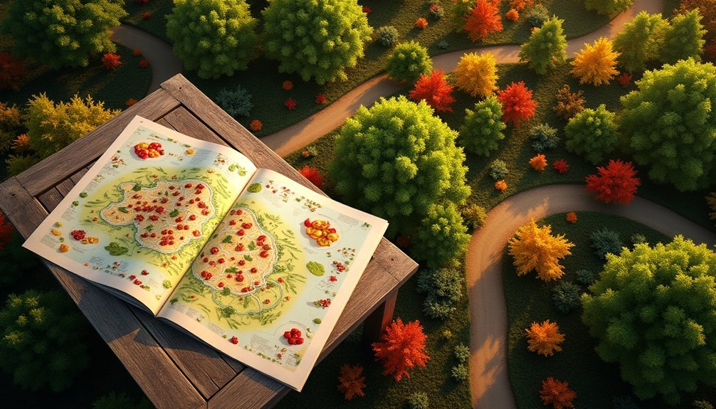
Maps can guide you directly to ripe produce in public food forests by showing what's currently ready for harvest in your area.
You'll find it easier to time your visits properly when digital tools highlight when specific fruits, nuts, and herbs reach their peak season.
These seasonal harvesting maps transform random foraging into strategic collection, helping you capitalize on local abundance while ensuring sustainable harvesting practices.
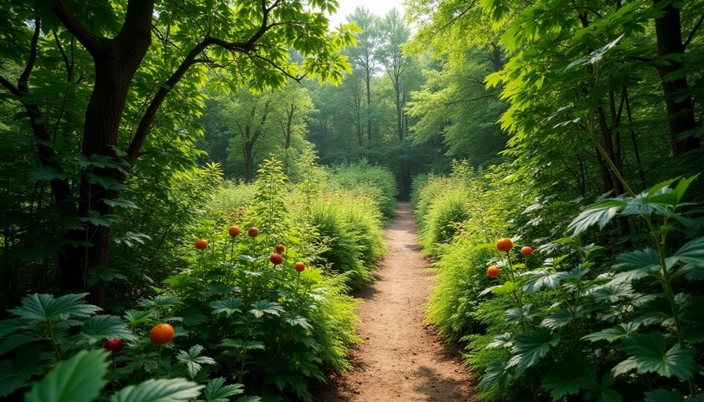
Unlike private P-patches surrounded by stone walls, maps clearly indicate the open harvest zones where community members are welcome to gather food responsibly.
HARVEST TIMING NAVIGATION
Successful foraging in public food forests depends heavily on knowing when different plants are ready to harvest. Maps can guide you through seasonal variability, showing what's ripe right now versus what'll be available next month.
With a well-designed harvest map, you'll navigate efficiently based on your preferences—whether you're seeking fruits, nuts, or vegetables. These maps account for environmental factors like weather conditions and soil health that affect when foods reach peak ripeness.
Digital platforms now offer real-time updates, allowing you to plan visits when your favorite foods are ready. GPS integration can direct you to specific trees or garden beds, while community-sourced data keeps information current and accurate. Food forests provide sustainable access to fresh produce without market hour limitations, offering flexibility for when you can harvest.
This technology transforms random foraging into strategic harvesting, ensuring you don't miss out on seasonal bounties while practicing sustainable collection methods.
LOCAL ABUNDANCE TRACKING
Local abundance tracking transforms individual navigation into community-powered resource management.
By collectively monitoring seasonal yields, you're creating living databases that reflect real-time availability rather than theoretical harvests. These maps become powerful tools for food security, helping communities distribute abundance and address scarcity. As food forests mimic natural ecosystems, they display seasonal patterns worth tracking for optimal harvesting windows.
- Resource Visibility: Track when specific fruits, nuts, and herbs reach peak production, allowing you to plan harvests efficiently and reduce waste.
- Community Distribution: Identify surplus areas where gleaning efforts could benefit food banks and community kitchens, creating direct paths from forest to table.
- Ecological Monitoring: Document changes in yield patterns over seasons and years, providing valuable data on climate impacts and ecosystem health.
When you contribute to abundance tracking, you're not just finding food—you're strengthening local food sovereignty and resilience.
Contributing to Collective Knowledge as a Citizen Scientist
By tracking seasonal changes in your local food forest and sharing these observations, you're helping build a valuable ecological database that scientists can study.
Your contributions as a citizen scientist create a more accurate picture of how these urban ecosystems respond to climate shifts and human interaction.
These collaborative mapping efforts make food resources more accessible to your community while advancing our collective understanding of urban food systems. Mapping also helps identify areas where new food forests could be established to utilize vacant urban lots and enhance neighborhood food security.
Tracking Ecological Changes
When you participate in mapping public food forests, you're not just collecting data—you're becoming an essential citizen scientist in a global ecological monitoring network. Your contributions help detect early warning signs of environmental stressors like drought or pest outbreaks before they become catastrophic.
With each observation you record, you're supporting:
- Real-time analysis of forest health conditions that inform conservation decisions
- AI-powered predictive models that forecast forest regrowth patterns and species resilience
- Enhanced understanding of ecological dynamics through sound and wildlife activity monitoring
This collaborative approach transforms scattered observations into thorough ecological insights, making your role vital in tracking how these unique food-producing ecosystems respond to climate change and other environmental challenges. These monitoring efforts are especially crucial as warmer temperatures continue to impact forest ecosystems globally, affecting their health and biodiversity.
Enhancing Resource Accessibility
As you contribute mapping data to public food forest initiatives, you're simultaneously enhancing resource accessibility for countless community members who might otherwise remain unaware of these valuable spaces.
Your efforts help build extensive GIS systems and databases that catalog species, locations, and growing conditions.
When you share information through digital platforms and mobile applications, you're breaking down barriers to participation.
Communities benefit from open data that improves resource distribution across diverse populations.
Your mapping contributions support inclusive features like wheelchair-accessible pathways and culturally relevant crop identification.
Mapping efforts can highlight important locations like the BIPOC Community Garden which provides culturally relevant foods to local residents.
Discovering Educational Opportunities at Mapped Food Forests

Mapped food forests serve as dynamic outdoor classrooms where visitors can engage in a wide range of educational opportunities.
These living laboratories foster ecological literacy through hands-on workshops, guided tours, and community-driven learning experiences. When you visit these mapped sites, you'll find yourself immersed in permaculture principles and sustainable practices. Understanding the concept of permaculture food forests leads to more intentional design choices in these community spaces.
These educational hubs offer:
- Hands-on learning – Participate in planting, maintenance, and harvesting activities that build practical green skills.
- Community connections – Network with like-minded individuals through workshops, volunteer opportunities, and collaborative design projects.
- Ecological knowledge – Gain deeper understanding of ecosystem dynamics, wildlife conservation, and biodiversity through interpretive programs and citizen science projects.
Supporting Urban Food Security With Accessible Forest Information
Public food forest mapping directly addresses the growing crisis of urban food insecurity that now affects over 47 million Americans.
When you access these digital maps, you're connecting to free food sources that can help buffer against inflation and the cash dependency that makes urban households vulnerable.
Unlike rural residents, you likely can't grow your own food without access to land. Food forests on public park land offer a solution—providing fresh alternatives to the processed foods that dominate urban diets.
Through mapped locations, you'll discover these community resources that reduce household food costs while improving nutrition. This is especially important since many poor urban households spend over 50% of their budget on food in today's economy.
The combination of geotagging technology and educational signage helps you identify what's available seasonally, ensuring these urban agroforestry projects fulfill their mission of making healthy food accessible to all community members.
Frequently Asked Questions
How Are Food Forest Maps Maintained and Kept Accurate?
Food forest maps are maintained through your community's input, regular updates, and validation processes. You'll find they utilize GIS tools, GPS technology, and version control systems to keep information accurate and current.
Can I Harvest From Any Public Food Forest?
Yes, you can harvest from most public food forests. They're generally open for everyone to collect produce without specific permissions. Just be respectful of the space and only take what you'll actually use.
What Should I Bring When Visiting a Mapped Food Forest?
When visiting a food forest, bring reusable containers, water, a map/GPS, sunscreen, and snacks. Don't forget first-aid supplies and waste bags. Check weather forecasts and wear appropriate clothing for outdoor conditions.
Do Food Forests Require Special Permits for Establishment?
Yes, you'll typically need special permits to establish food forests on public land. These permits involve site assessments, insurance requirements, and compliance with local zoning laws and land-use regulations in your jurisdiction.
How Do Climate Differences Affect Food Forest Species Selection?
Your climate determines which plants will thrive in your food forest. You'll need cold-hardy species in northern regions, drought-tolerant plants in arid areas, and moisture-loving varieties in humid locations.
In Summary
You're now equipped to find free, nutritious food in your community through mapping public food forests. By using these digital tools, you'll not only access seasonal harvests but also connect with like-minded neighbors, expand your knowledge, and contribute to food security efforts. Don't wait—start exploring the edible landscape around you and become part of this growing movement today.


Leave a Reply