
Looking to map fruit trees in your neighborhood? Try Falling Fruit with over 1.5 million locations worldwide, FruitForest for tracking up to 100 trees for free, or Treetracker Pro for advanced GIS mapping. Neighborhood Harvest connects you with local tree owners, while ForageFinder uses AI to identify fruit trees from photos. LocalBounty alerts you to peak harvest times, and GleaningGuide navigates legal access issues. The right app will transform your urban landscape into a sustainable food source.
Falling Fruit: The Ultimate Urban Foraging Companion
Anyone interested in urban foraging will find Falling Fruit an indispensable resource. This open-source platform maps over 1.5 million locations across 111 countries and 6,340 cities, helping you discover free food in your neighborhood.
Urban foragers rejoice! Falling Fruit maps millions of free food sources worldwide, bringing neighborhood abundance to your fingertips.
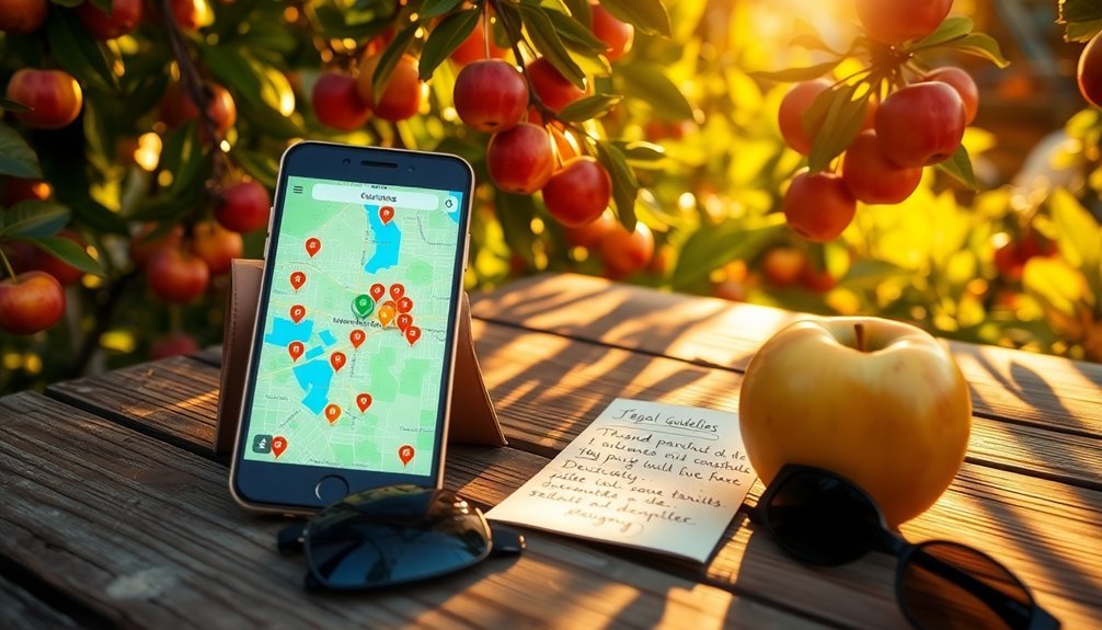
As a 501(c)3 non-profit, Falling Fruit combines city tree inventories with user contributions to identify more than 2,300 types of edibles. The platform also highlights invasive plant species to encourage their consumption while helping control their spread. You'll get detailed harvest information and accessibility status for each location through their interactive map.
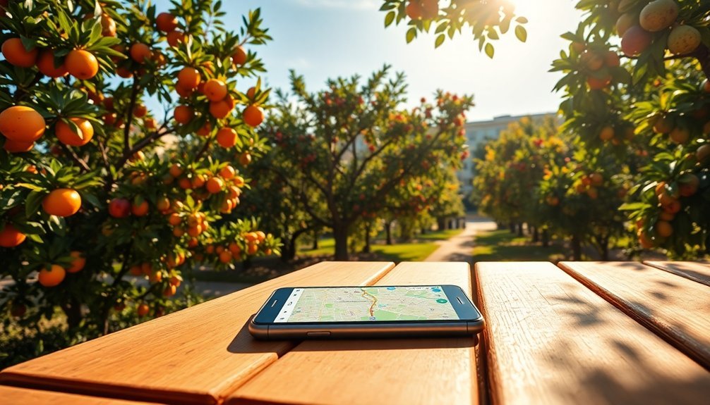
The platform works on both desktop and mobile devices, with dedicated apps for iOS and Android. You can search by address or browse your current location to find nearby opportunities.
What makes Falling Fruit unique is its community focus—you can contribute anonymously or register to add new locations, enhancing this valuable resource for everyone.
FruitForest: Map Up to 100 Trees for Free
FruitForest lets you map and track up to 100 fruit trees for free with its intuitive cloud storage system.
You'll find the tree registration process remarkably simple—just drag the plus button to position each tree on your farm map.
The app automatically saves your data and offers offline functionality, ensuring you can continue mapping even without internet connection. You can add photos, notes, and task reminders to each tree while offline, with changes being saved locally until you regain connectivity.
FruitForest Features Overview
With five core capabilities, the FruitForest app offers a thorough solution for mapping and managing fruit trees on your property.
You'll benefit from cloud data storage that lets you recover farm information on any device, while the offline functionality allows you to add trees and notes even without internet connection.
The app's collaboration tools enable multiple users to access and update the same farm data – perfect for team management.
You can view your trees on standard or satellite maps, with badges highlighting those needing attention.
While the free version limits you to 100 trees, subscription plans grant access to advanced features like task scheduling, photo management with timestamps, and farm zone organization.
For data integration with other systems, you can export your tree information in KML format.
The newest version 1.4 includes a helpful search feature that allows you to quickly locate and highlight specific trees on your map.
Simple Tree Registration Process
Now let's examine how you'll actually add trees to your digital orchard. FruitForest makes this process remarkably straightforward, allowing you to register up to 100 trees without spending a penny.
You'll input basic details about each tree, including species, planting date, and condition notes—all with convenient timestamps. The app's streamlined interface guarantees you won't waste time figuring out complex menus when you could be tending to your actual trees.
Even without internet access, you can continue mapping and logging data in the field. All your information syncs to cloud storage once you're back online, protecting your valuable tree data across all your devices.
This offline capability is particularly useful when you're mapping remote areas or community orchards with spotty connection. Similar to how the U.S. Forest Service conducts quality control through random sampling, you can verify the accuracy of your mapped trees by revisiting locations periodically.
Neighborhood Harvest: Connect With Local Fruit Tree Owners

Connecting with local fruit tree owners has never been easier thanks to neighborhood harvest apps designed to build community around shared resources.
Apps like Garden Gatherers offer networking features that directly link you with neighbors who need help harvesting backyard produce or want to exchange their surplus.
You'll find integrated messaging systems that let you coordinate harvest times and arrange produce swaps without sharing excessive personal information.
Most platforms include review systems to build trust between community members, ensuring reliable exchanges.
Beyond simple harvesting, these apps foster deeper community connections through recipe sharing features that celebrate local bounty.
You can discover new culinary uses for seasonal fruits while reducing food waste and strengthening neighborhood bonds—turning excess fruit into shared community wealth.
Garden Gatherers was specifically designed to assist older adults who face physical limitations but still want to maintain their gardens and share their harvest with the community.
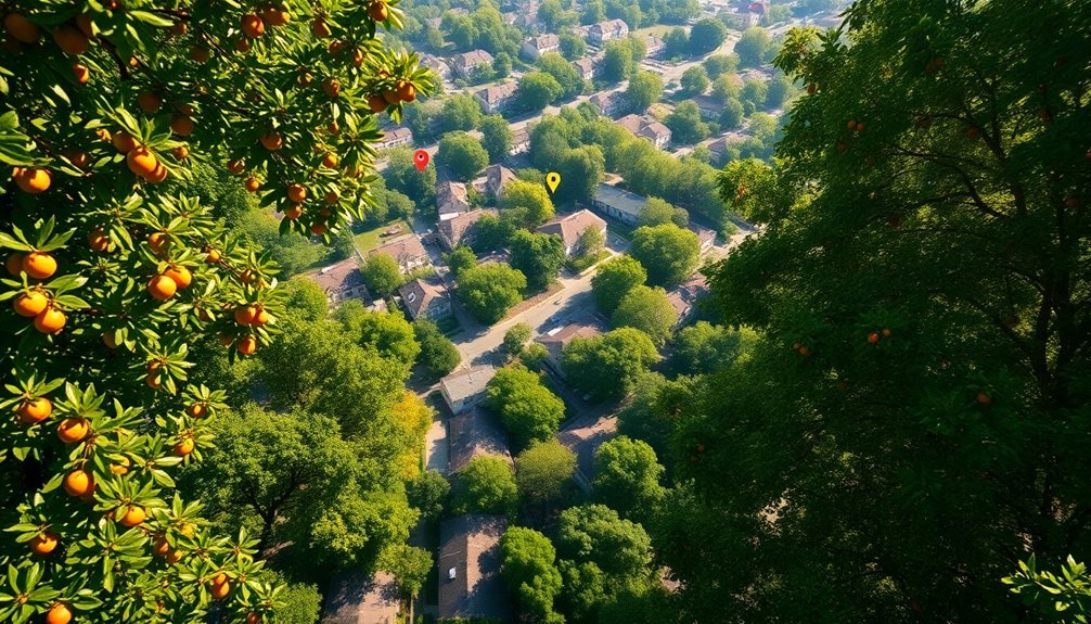
Urban Fruit Map: Discover Hidden Edibles in Your City
You'll find thousands of free edible plants through urban fruit maps like Falling Fruit, which features over 1.5 million foraging locations across 1,500 cities worldwide.
These collaborative platforms help you locate everything from fruit trees to edible fungi, turning your neighborhood into a sustainable food source. Started as a PhD project in 2008 at the University of Colorado, the map has expanded to all seven continents and encourages users to contribute to this Wikipedia-like resource.
Free Urban Tree Resources
While walking through your neighborhood, you've likely passed dozens of fruit trees without realizing it. Fortunately, several free resources can help you discover these hidden treasures.
Falling Fruit stands out as a collaborative mapping platform spanning over 1,500 cities across 51 countries. This open-source tool lets you identify edible species and contribute your own findings. Their mobile apps for iOS and Android make on-the-go foraging even easier.
For those interested in broader tree benefits, i-Tree Canopy helps analyze urban forest coverage using aerial imagery. Many communities achieve 95% accuracy when mapping tree canopy compared to ground-based inventories. The Urban Forest Management Plan Toolkit provides frameworks for community tree initiatives, while OpenTreeMap offers tools to calculate ecosystem services.
These resources don't just help you find food—they foster community engagement, reduce waste, and enhance urban planning efforts.
Sustainable Local Foraging
Urban foraging transforms city streets into potential pantries when done sustainably and ethically. When harvesting, follow key principles to minimize your environmental impact: only collect from abundant populations, leave at least one-third untouched for regrowth, and prioritize non-native and invasive species over native plants. Always carry your findings in a way that allows them to release spores as you leave the area, helping ensure future growth.
Educational resources from organizations like United Plant Savers can help you identify endangered species to avoid. Approach foraging with the same respect you'd show in any relationship—practicing balance and reciprocity with nature.
This ethical framework aligns with Indigenous values of land stewardship while supporting local conservation efforts. By combining traditional knowledge with technology like Falling Fruit's mapping platform, you'll contribute to a more sustainable food system while reducing waste in your community.
Treetracker Pro: Advanced Mapping With Seasonal Alerts

Treetracker Pro stands out as a powerhouse for serious fruit tree mapping enthusiasts, combining sophisticated GIS technology with extensive project management capabilities.
You'll appreciate the GPS navigation and location tracking features when venturing into neighborhoods to document fruit trees.
The app shines with its offline functionality, allowing you to map trees even in areas with poor connectivity. Your data automatically syncs when you're back online.
Access to satellite imagery and parcel ownership layers provides valuable context for each tree's location.
While Treetracker Pro doesn't currently offer specific seasonal alerts for fruit ripening, its robust project management tools let you organize multiple mapping projects simultaneously.
You can upload photos, store custom data about each tree, and share information securely with fellow foragers through its collaborative features. The recently released version 2.2.0 fixed a major bug affecting polygon creation on the map, improving the accuracy of tree cluster mapping.
CommunityPick: Collaborative Neighborhood Fruit Sharing
CommunityPick has transformed neighborhood fruit sharing into a social movement, moving beyond just technical mapping to focus on building relationships between neighbors.
Turning backyard abundance into neighborly connections, one fruit tree at a time.
The app integrates elements from successful platforms like Neighborhood Fruit and Falling Fruit while emphasizing community engagement.
You'll find features that connect you directly with fruit tree owners who've excess harvests. The platform's strength lies in its reduction of food waste—fruit that would typically rot becomes accessible to those who'll use it. Similar to Box Divvy's approach, CommunityPick focuses on creating a self-sustaining social enterprise that operates without grants or external funding.
Unlike other apps, CommunityPick incorporates seasonal alerts with community events like harvest parties and jam-making workshops. This collaborative approach not only reduces your food costs but also strengthens neighborhood bonds while promoting sustainability by decreasing transportation-related carbon emissions.
The crowdsourced database continually improves as users contribute new locations and harvest reports.
ForageFinder: AI-Powered Fruit Tree Identification
While traditional fruit identification required botanical expertise, ForageFinder has revolutionized the process with its AI-powered technology that instantly recognizes fruit trees from simple photos.
The app's precision identification system compares your images against an extensive database, providing accurate results within seconds. Users can easily crop images for more precise identification, ensuring the app focuses on the specific tree features you want to analyze.
You'll appreciate how ForageFinder seamlessly integrates with maps, allowing you to mark and revisit discovered trees. The community feedback feature lets you contribute to the database, improving identification accuracy for everyone.
Key features include:
- Image recognition that works with leaves, bark, or fruit photos
- GPS integration for mapping identified trees in your neighborhood
- Cross-platform availability on both iOS and Android devices
ForageFinder's intuitive interface makes fruit tree identification accessible to everyone, regardless of botanical knowledge.
LocalBounty: Track Ripening Times and Fruit Availability
LocalBounty's ripening notification system alerts you when nearby fruit trees reach their peak harvest time.
You'll receive customized alerts based on your location and preferred fruits, ensuring you never miss the perfect picking window. The app utilizes satellite imagery to identify fruit-bearing trees and monitor their development in real time.
The app's seasonal availability maps display color-coded indicators showing which fruits are currently ripe, approaching harvest, or already past season in your area.
Ripening Notification Features
One of the most valuable aspects of modern fruit mapping technology lies in its ability to notify you when fruit is ready for harvest. LocalBounty excels in this area, integrating smart ripening notifications that help extend shelf life and reduce waste while keeping you engaged with neighborhood harvesting opportunities.
The app leverages several sophisticated techniques to track ripening patterns:
- Machine learning algorithms analyze historical data to predict when specific trees will produce ripe fruit.
- Community reporting allows users to update ripening status, creating a crowdsourced knowledge base.
- Weather integration adjusts predictions based on local climate conditions that accelerate or delay ripening.
These notifications not only improve your foraging experience but also contribute to environmental sustainability by optimizing harvest timing and reducing food waste. With features designed to maximize freshness, LocalBounty helps users reduce the approximately one-third of food that's wasted annually worldwide.
Seasonal Availability Maps
As seasons change throughout the year, so does the availability of different fruit varieties in your area. Apps like Seasons provide a searchable database of over 200 fruits and vegetables to help you plan when to look for neighborhood harvests, complete with images and descriptions for easier identification.
The Seasonal Food Guide offers extensive data on more than 140 types of produce, drawing from reputable sources like the USDA. You can search what's in season by state for accurate planning. Foodstalk offers NYC residents a comprehensive chart showing seasonal availability for 48 common produce items within a 200-mile radius.
Meanwhile, Farmstand uses GPS to help you locate nearby farmers' markets where you might find similar varieties to what's growing in your neighborhood.
For practical storage advice, In Season provides over 300 tips to help you make the most of your foraged fruit.
GleaningGuide: Navigate Legal Access to Public Fruit Trees
When harvesting fruit from public trees, you'll need to navigate a complex web of legal considerations to avoid trespassing issues. Apps like Falling Fruit Platform serve as matchmaking services between urban foragers and accessible fruit trees, clearly indicating which locations are on public property and legally harvestable.
To guarantee you're gleaning legally:
- Verify ownership status – Only harvest from truly public trees or those where you've received explicit permission.
- Consult tree inventories – Public records often identify edible species on municipal land.
- Review local ordinances – Some cities have specific rules about harvesting from public trees.
Remember that platforms supporting multiple languages and allowing anonymous contributions make these resources more accessible, ultimately reducing food waste while building community connections. Ethical foraging emphasizes taking only what's needed from communal resources to maintain ecological balance.
HarvestHelper: Organize Neighborhood Picking Parties
The concept of neighborhood picking parties transforms solitary foraging into community celebrations that maximize harvest efficiency while building local connections.
While current mapping apps like FruitForest and Falling Fruit excel at locating trees, they don't specifically facilitate harvest events.
To organize effective picking parties, you'll need to bridge this gap. Consider combining tree mapping data with separate event planning tools. Start by creating a shared calendar for harvesting dates, assigning volunteer roles, and establishing guidelines for private property access.
Include educational resources on sustainable harvesting practices and invite local experts like arborists to guarantee proper tree care. Keeping track of annual cropping yields for each tree helps optimize future harvest planning.
Connect your efforts with social media to expand participation and share your bounty. These community harvests reduce food waste while fostering neighborhood relationships that last well beyond the picking season.
Frequently Asked Questions
How Accurate Are Tree Locations During Different Seasons?
Tree locations are more accurate in fall and winter when foliage is minimal. You'll notice reduced accuracy during summer's dense foliage seasons. Technology like high-resolution imaging can help overcome these seasonal limitations.
Can I Report Incorrect or Removed Tree Information?
You can report incorrect or removed tree information using OpenStreetMap's editing tools, through iNaturalist's feedback system, or via local government apps that handle tree management concerns. Community forums also accept these updates.
What Safety Precautions Should I Take When Foraging?
When foraging, you'll need to educate yourself on plant identification, wear protective clothing, bring communication devices, forage with others, and always clean your harvests thoroughly. Never eat plants you can't identify with certainty.
Are Pesticide Usage Details Available for Mapped Trees?
Most mapping apps don't currently include pesticide information for specific trees. You'll need to ask tree owners directly or contact local agricultural extensions for this data when foraging in neighborhoods.
How Do These Apps Handle Disputes Over Private Property Access?
Most apps don't directly handle property disputes. You'll find they typically mark trees as private or public, but it's your responsibility to respect boundaries and seek permission before accessing trees on private land.
In Summary
You'll find these ten apps revolutionize how you discover edible abundance hiding in plain sight. Whether you're mapping your own neighborhood trees or connecting with local fruit-sharing communities, technology has made urban foraging more accessible than ever. Download one today and you'll be surprised at the free, fresh produce available just steps from your door. Happy harvesting in your transformed, fruitful neighborhood!


Leave a Reply