Mapping your local wild food routes transforms urban spaces into your personal pantry. Start by identifying safe areas like park edges, community garden perimeters, and abandoned lots away from pollution sources. Create seasonal routes that track spring greens, summer berries, and fall fruits. Use digital tools to document discoveries and connect with fellow foragers. Remember to harvest sustainably, respect local regulations, and acknowledge traditional land knowledge. Your neighborhood holds hidden edible treasures waiting to be discovered.
Why Mapping Matters for Urban Foragers
While many city dwellers walk past valuable food sources every day, urban foragers recognize the hidden bounty growing along sidewalks, in parks, and throughout neglected spaces.
Creating personal maps of these resources connects you directly to your environment and builds deeper ecological knowledge.
Mapping your local edibles transforms abstract urban spaces into a living pantry of recognizable, meaningful relationships.
When you document local wild food spots, you're not just finding free nutrition—you're participating in a form of urban forest justice that acknowledges nature's place in city life.
Your maps become tools for community building as you share locations with neighbors, creating social bonds through shared harvests.
In food deserts, these maps transform into crucial resources for accessing nutrient-dense alternatives to expensive store options.
You'll reduce your carbon footprint while enhancing your neighborhood's economic resilience through hyperlocal food sourcing.
Online resources like fallingfruit.org have already mapped nearly 550,000 foraging locations across North America.
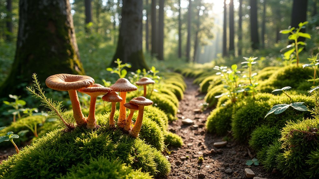
Identifying Safe Wild Food Hotspots in Urban Areas
Urban foraging hotspots often include unexpected edibles growing in neglected spaces like abandoned lots and building edges where dandelions, purslane, and chickweed thrive.
You'll need to seek out pollution-free zones away from high-traffic roads, industrial sites, and areas with known contamination history to minimize health risks.
Community garden perimeters offer particularly safe foraging opportunities, as these spaces typically maintain pesticide-free practices while attracting diverse wild edibles along their borders. Parks and public green spaces can provide an excellent source of wild berries and fruits throughout the summer months, especially when focusing on areas that receive minimal maintenance.
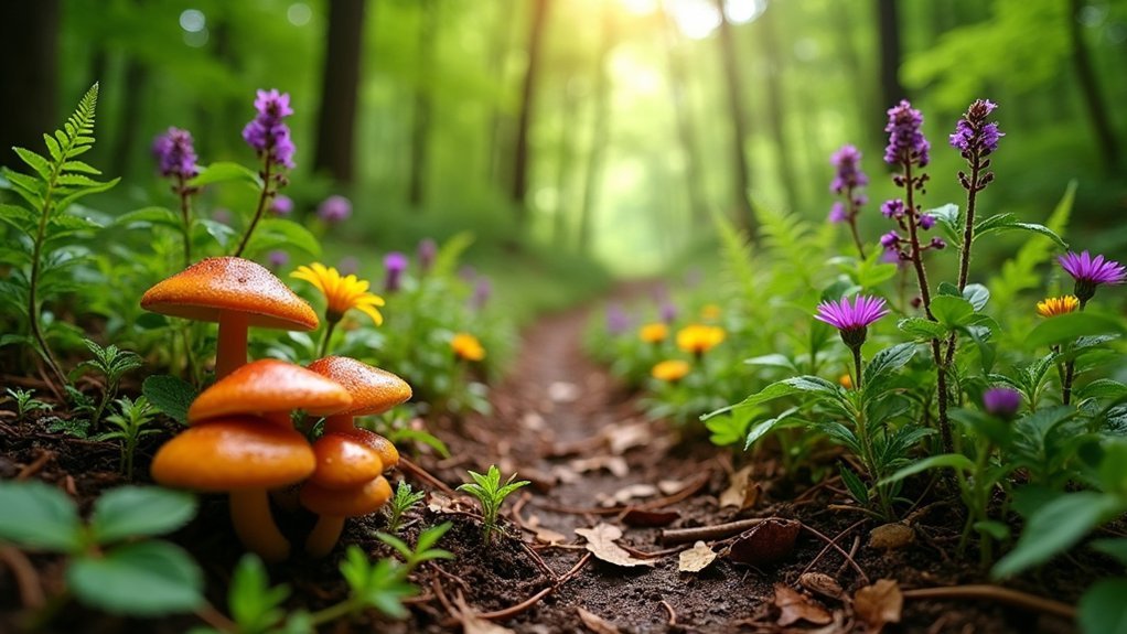
Unexpected Urban Edibles
Where might you find a treasure trove of wild edibles? Seek no further than your city's overlooked corners.
Those "weeds" growing through sidewalk cracks might be purslane, packed with omega-3s and vitamins A, C, and E. The humble chicory brightening roadsides offers both edible leaves and roots for coffee substitutes.
Don't walk past daylilies without noticing their sweet, edible flowers, or stinging nettle (handle with care!) with its impressive iron and calcium content.
White goosefoot makes an excellent spinach alternative in abandoned lots. Gather the plant when it's still young for a more delicate, sweet-tasting texture. Even common trees like oak and linden provide multiple edible parts from flowers to bark.
Next time you're wandering urban parks, scan for mulberry trees, wild raspberries, and crabapples—nature's free grocery store hiding in plain sight.
Pollution-Free Foraging Zones
Identifying safe foraging zones in cities requires vigilance and knowledge about potential contamination sources. When mapping your urban wild food routes, prioritize areas away from highways, industrial zones, and spots where dogs frequently visit.
Public parks often provide excellent foraging opportunities, while residential neighborhoods can yield unexpected bounties if you obtain proper permission. Online platforms like Falling Fruit can help you discover established foraging locations in your area.
- Check soil quality in vacant lots before harvesting—former industrial sites may contain hazardous contaminants
- Create digital or paper maps to track seasonal availability of specific plants
- Look for common edibles like dandelions and plantains in well-maintained green spaces
- Focus on native species which are typically better adapted and less likely to absorb pollutants
- Consult local regulations to guarantee your foraging activities are legal and sustainable
Community Garden Edges
Community garden edges represent overlooked treasure troves for urban foragers seeking safe wild edibles. These perimeters typically host diverse wild plants that thrive alongside cultivated crops, offering pollution-free harvesting zones where gardeners maintain chemical-free practices.
You'll find these boundary areas particularly rich in biodiversity, serving as natural interchange zones between manicured gardens and urban landscapes. These edges also promote food sovereignty while providing nutritional alternatives to store-bought produce.
| Perimeter Type | Common Edibles | Best Season | Harvesting Tips |
|---|---|---|---|
| Fence lines | Dandelion, chickweed | Spring | Pick young leaves before flowering |
| Compost edges | Lamb's quarters, purslane | Summer | Harvest morning for best flavor |
| Pathway borders | Wood sorrel, violets | Spring/Fall | Collect after rain for tenderness |
| Garden entrances | Plantain, mallow | Year-round | Test small amounts first |
These edges also benefit from the garden's nurturing environment while requiring less maintenance, making them ideal foraging locations.
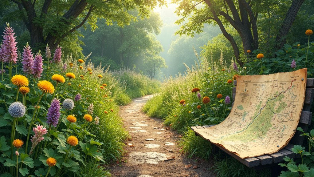
Seasonal Route Planning for Maximum Harvest
To maximize your wild food harvests throughout the year, you'll need to carefully plan your foraging routes based on seasonal availability.
Each season offers unique foraging opportunities, from spring's tender greens to winter's hardy roots. Crafting seasonal routes guarantees you're in the right place at the right time to gather nature's bounty efficiently. Always seek permission when exploring private land areas.
- Spring routes: Focus on woodland edges and sunny meadows for nettles, wild garlic, and dandelion greens.
- Summer paths: Explore hedgerows and forest clearings for berries, elderflowers, and wild herbs.
- Fall circuits: Visit oak groves for acorns, hazel thickets for nuts, and damp forests for mushrooms.
- Winter trails: Seek pine forests for needles, sheltered spots for winter greens, and frozen marshes for preserved berries.
- Year-round: Adjust routes based on microclimates in your area for extended harvest periods.
Digital Tools for Tracking Your Foraging Discoveries
While seasonal route planning sets the foundation for successful foraging adventures, modern technology now enhances how you document and revisit your best harvesting spots.
Google Maps' "My Maps" feature lets you create personalized foraging maps where you can mark and share wild food locations with your community.
For more advanced tracking, consider platforms that incorporate machine learning and computer vision. These technologies offer precise data capture even in cluttered environments.
You'll find tools like Bee Tracker software—originally designed for monitoring insects—can be adapted to track your foraging routes with remarkable accuracy. The most sophisticated tracking systems can detect tiny objects and function effectively in natural habitats with background clutter similar to forest floors.
Image mosaicing techniques help reconstruct detailed landscapes from your photos, providing extensive views of your foraging environments.
When sharing your discoveries online, remember to set appropriate permissions to protect sensitive locations from overharvesting.
Building Community Through Shared Foraging Maps
As digital mapping technology has evolved, shared foraging maps have emerged as powerful tools for connecting people through their mutual interest in wild food harvesting.
Shared foraging maps transform scattered wild food knowledge into digital community treasures, connecting local harvesters through technology.
These collaborative resources strengthen community bonds while reducing food waste and increasing access to local edibles. By engaging neighbors in mapping projects, you're not just tracking food sources—you're preserving local knowledge and fostering food justice. The interactive map displays orange circles indicating clusters of free food sources and foraging opportunities across the United States.
- Organize community mapping workshops to identify neighborhood fruit trees and edible plants
- Partner with private property owners who might share excess harvests in exchange for pruning services
- Use platforms like Falling Fruit or Google Maps to create and share your discoveries
- Build networks between foragers, gardeners, and food enthusiasts in your area
- Host seasonal events that combine mapping, harvesting, and skill-sharing
Ethical Considerations When Creating Public Foraging Routes
When foraging becomes a shared activity through public routes and maps, ethical considerations must guide every decision you make. Creating public foraging routes requires balancing accessibility with ecosystem protection. Education and planning are essential for developing responsible public foraging routes that preserve plant populations while sharing nature's bounty.
| Ethical Consideration | Action Required |
|---|---|
| Legal Compliance | Research local laws and obtain permissions |
| Ecosystem Protection | Limit visitor numbers to prevent overharvesting |
| Indigenous Respect | Acknowledge traditional land uses and knowledge |
| Conservation Awareness | Avoid mapping rare or endangered species locations |
| Sustainability | Rotate routes seasonally to allow regrowth |
Before publishing any route, verify it's legal to forage in the area. Consider implementing a code of conduct for users to follow, emphasizing sustainable harvesting methods and "leave no trace" principles. Remember that you're not just sharing locations—you're potentially influencing how others interact with delicate natural resources.
Preserving Your Harvests: From Route to Kitchen
The journey of wild food doesn't end once you've returned from your foraging route—it's only beginning. Preserving your wild harvest extends its usefulness and connects you to ancestral wisdom. Different preservation methods suit various foraged items, from dehydrating mushrooms to fermenting wild berries. Beeswax wraps provide an excellent natural solution for short-term storage of freshly foraged items before processing.
- Match method to food: Dehydrate leafy greens and mushrooms, ferment berries and vegetables, smoke fish and game
- Combine techniques: Enhance flavors by pickling foraged vegetables after blanching
- Create blends: Mix preserved foods for nutritional diversity—dried herbs with cured meats
- Store strategically: Use underground spaces for temperature-sensitive preserves and vacuum seal others
- Document results: Keep records of what works for each foraged item to refine your preservation practice
Frequently Asked Questions
How Do I Handle Confrontations While Foraging on Public Land?
Stay calm during confrontations while foraging. Know your local regulations, be respectful, and explain your activities if questioned. You'll avoid escalation and maintain positive relationships with authorities and other land users.
Can Children Safely Participate in Urban Foraging Activities?
Yes, children can safely participate in urban foraging with proper supervision. You'll need to guarantee they understand basic safety rules, can identify plants correctly, and are foraging in pollution-free areas. Start with simple, easily identifiable edibles.
How Do Weather Patterns Affect Wild Food Availability?
Weather patterns directly impact when and where you'll find wild foods. You'll notice seasonal cycles determine harvesting times, while climate change shifts species' ranges. Extreme events like droughts can dramatically reduce what's available to forage.
Are There Insurance Considerations for Group Foraging Events?
For group foraging events, you'll need general liability insurance to cover injuries, property damage, and professional guide liability. Don't forget to contemplate event cancellation coverage for weather disruptions and special event permits.
How Can I Identify Contaminated Soil in Urban Foraging Areas?
You can identify contaminated soil by researching local history, using mapping tools, looking for visual signs of industrial activity, maintaining distance from roadsides and railways, and performing soil tests for heavy metals.
In Summary
You're now equipped to transform your neighborhood into a wild food landscape with personalized foraging routes. Don't forget that mapping isn't just about finding dinner—it's about deepening your connection to local ecosystems and building resilient communities. As you chart your own wild food pathways, you'll discover that the map you're creating isn't just of places, but of seasons, relationships, and knowledge that's meant to be shared.


Leave a Reply