To build your own plant identification mobile guide, start with a no-code platform like Bolt for easier development. Focus on creating a clean, intuitive interface that allows quick photo uploads and displays clear identification results. Include side-by-side comparisons of edible plants and their toxic look-alikes, along with distinguishing characteristics. Implement machine learning models (like CNNs) for accurate identification, and add location-based mapping features to track foraging spots. The following steps will transform your plant knowledge into a practical tool for safe foraging adventures.
Build Your Own Plant Identification Mobile Guide
Creating your own plant identification app has never been more accessible. With no-code development platforms like Bolt, you don't need coding experience to build a functional app that identifies plants through photos.
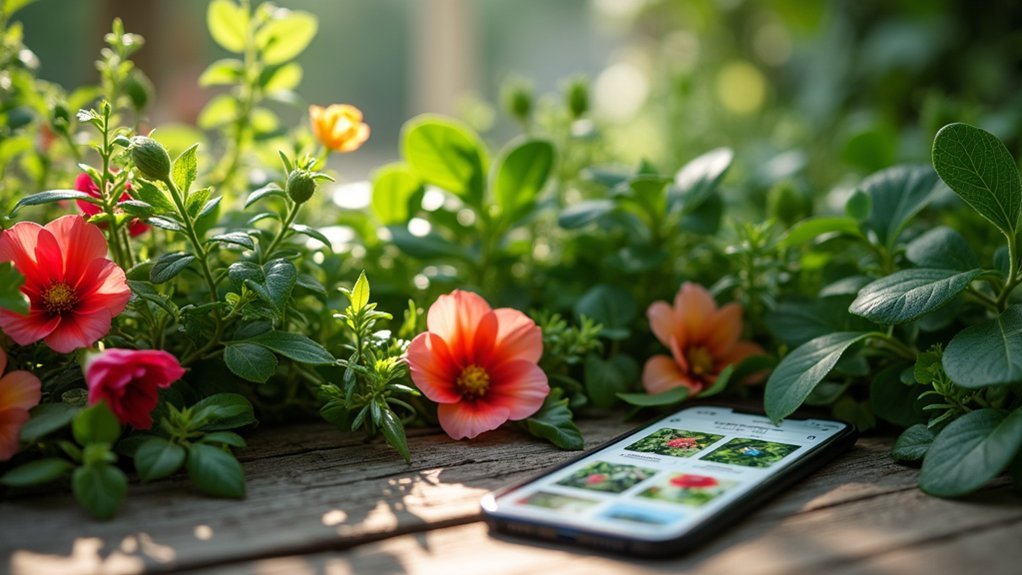
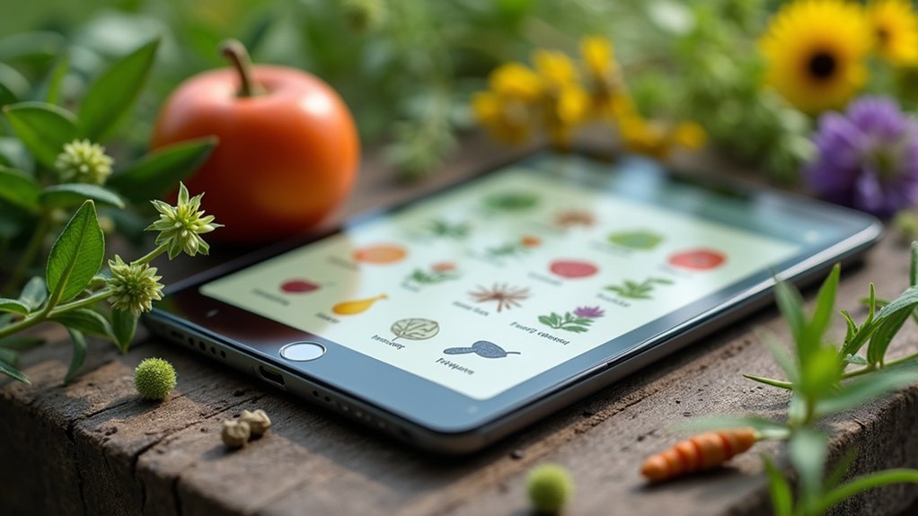
Start by focusing on a user-friendly interface that allows quick photo uploads and delivers accurate identifications. Incorporate AI and machine learning algorithms to guarantee your app can recognize from a database of thousands of plant species.
Add essential features like toxic plant alerts, care advice, and personal collection management. Consider cross-platform compatibility to reach both iOS and Android users.
Your app can serve as an essential tool for botanical education, helping students learn about plant varieties while providing curated species information beneficial for academic purposes.
Implement privacy measures to protect user data, and explore monetization through in-app purchases for premium features. Remember that accurate identification and practical plant care tips will distinguish your app in a competitive market.
Defining the Scope of Your Urban Foraging Safety App
When building a plant identification app, you'll want to contemplate expanding into specialized areas like urban foraging safety. Carefully define your app's scope by considering legal boundaries, environmental hazards, ethical harvesting, user safety, and community building. Incorporating features that help users identify edible wild plants can provide access to nutritious food sources typically unavailable in stores.
| Key Components | Implementation Considerations |
|---|---|
| Legal Compliance | Include protected areas, private property rules |
| Environmental Hazards | Map toxic sites, highlight contamination risks |
| Ethical Harvesting | Teach sustainable practices, prevent over-harvesting |
| User Safety | Guarantee accurate identification, detail preparation methods |
| Community Features | Incorporate forums, crowdsourced data collection |
Your app should strike a balance between encouraging urban foraging and promoting responsible practices. Remember that user education is paramount—emphasize plant identification accuracy, contamination awareness, and emergency procedures to create a thorough safety resource that urban foragers can trust.
Gathering and Curating Wild Edible Plant Data

When building your plant identification guide, you'll need clear species selection criteria that balance common edibles with regional specialties.
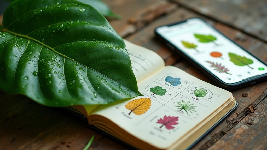
Your toxicity documentation protocol should include side-by-side comparisons of edible plants with their dangerous look-alikes, using multiple high-quality images from different angles.
Local foraging maps can enhance user experience by highlighting seasonal availability zones while respecting ecological preservation areas where harvesting should be limited or avoided. Always photograph and catalog plants with distinguishing characteristics to help users rule out those with poisonous traits like milky sap, fine hairs, or umbrella-shaped flower clusters.
Species Selection Criteria
Although foraging has ancient roots, selecting which wild edible plants to include in a mobile guide requires careful consideration of multiple factors. Your guide's effectiveness depends on choosing species that balance usefulness, accessibility, and educational value for your users.
When determining which plants to feature in your mobile guide, prioritize:
- Cultural relevance – Include plants with traditional uses and significance to local communities.
- Ecological diversity – Represent various ecosystems and plant life forms (herbs, shrubs, trees).
- Seasonal availability – Feature plants with different harvest times to provide year-round utility.
- Identification safety – Select species that are easily distinguishable from toxic lookalikes to prevent dangerous misidentifications. Research shows that taste is primary when people select wild food plants, making palatability an essential inclusion criterion alongside safety considerations.
Consider both native and non-native species, and pay special attention to plants threatened by over-harvesting.
Toxicity Documentation Protocol
Beyond selecting appropriate species, you'll need a systematic approach to document plant toxicity information for your mobile guide. Create a thorough toxicity assessment that highlights both dangerous traits and safe preparation methods when applicable. Accurate identification is essential when documenting plants that could potentially be harmful to users of your mobile guide.
| Toxicity Factor | Documentation Approach |
|---|---|
| Warning Signs | Document milky sap, almond scents, and umbrella-shaped flowers with clear warning symbols |
| Similar Species | Include side-by-side comparisons with toxic lookalikes to prevent misidentification |
| Preparation Requirements | Detail specific cooking methods that render certain plants safe for consumption |
| Emergency Response | Provide symptoms of toxicity and immediate actions to take if accidental consumption occurs |
Always cross-validate your toxicity information with multiple botanical sources and include clear visual indicators in your guide. Consider implementing a color-coded system that instantly communicates risk levels to users even before they read detailed descriptions.
Local Foraging Maps
As users increasingly seek reliable information about wild edibles, creating thorough local foraging maps becomes essential for your mobile guide.
You'll want to incorporate both digital tools and community knowledge to build extensive resources that users can trust.
- Utilize existing platforms like Google Maps or specialized apps such as Falling Fruit to establish your baseline data of foraging locations.
- Verify data accuracy through cross-checking information from regional guides and conducting soil testing for safety.
- Engage local communities through collaborative mapping projects similar to Hackney Harvest or Denver Fruit Map. Early spring is the ideal time to organize community mapping events as blossoming fruit trees provide clear visual markers for future harvesting locations.
- Implement seasonal tracking features that alert users to what's currently available, maximizing foraging success while promoting sustainable harvesting practices.
Implementing Machine Learning for Toxic Species Detection

Machine learning models now power our app's toxicity classification system, which categorizes plants into five hazard levels from mild irritant to potentially fatal.
You'll notice color-coded indicators that instantly alert you to danger when the camera identifies a toxic species in your surroundings.
The real-time alert system integrates with your device's notification features, ensuring you're warned about dangerous plants before accidental contact occurs. Our identification engine utilizes contour analysis techniques to extract distinctive leaf features that help differentiate between similar-looking toxic and non-toxic species.
Toxicity Classification Models
While traditional plant identification relies on visual inspection, modern toxicity classification models harness the power of machine learning to accurately detect dangerous species.
You'll achieve impressive results by implementing these robust algorithms that can reach up to 97% accuracy when properly trained.
- Convolutional Neural Networks (CNNs) – Especially ResNet-50 architecture excels at capturing subtle color variations and leaf patterns with 89.6% accuracy
- Logistic Regression – Highly effective when focusing on key features like 3-leaf clusters, shiny leaves, and dark red stems
- Hybrid Approaches – Combining CNNs with SVMs creates more robust classification systems that reduce false negatives
- Transfer Learning – Allows you to leverage pre-trained models even with limited datasets, maintaining high performance metrics
Applying proper text preprocessing techniques such as lemmatization and removing special characters significantly improves model accuracy when classifying toxic plant species.
Ensure your dataset includes diverse species and high-quality images to minimize bias and improve real-world application performance.
Hazard Level Indicators
Implementing effective hazard level indicators represents the next evolution in toxic plant detection systems. You'll achieve ideal results by leveraging Convolutional Neural Networks to extract distinctive features like leaf patterns and coloration from plant images. Research shows 97.37% accuracy can be achieved with machine learning models for plant toxicity classification.
| Hazard Level | Visual Indicator | User Action Required |
|---|---|---|
| Severe | Red warning icon | Immediate avoidance |
| High | Orange alert | Do not touch |
| Moderate | Yellow caution | Handle with gloves |
| Low | Blue notice | Normal precautions |
| Unknown | Gray question | Consult expert |
Your model's accuracy depends on balanced datasets and addressing visual similarities between toxic and non-toxic species. Implement transfer learning and ensemble methods to improve identification precision. The system should provide immediate feedback on potential toxicity while encouraging further expert consultation for verification. Regular database updates guarantee you're protected against newly identified toxic species.
Real-time Alert Systems
Leveraging today's advanced machine learning capabilities, real-time alert systems now provide immediate toxic plant identification when you're exploring outdoors.
Your mobile guide can integrate CNNs with transfer learning to achieve up to 99.5% accuracy in distinguishing dangerous species from harmless lookalikes.
- Ensemble Learning Implementation – Combine multiple algorithms to improve identification robustness, especially in varying lighting conditions.
- Standardized Image Processing – Include preprocessing tools that compensate for background variability and enhance image quality.
- Geographic Customization – Adapt your alert system to regional species, incorporating local ethnobotanical knowledge.
- Risk-Level Notification – Configure cascade-forward neural networks to categorize plants by toxicity level, triggering appropriate warning indicators.
You'll need balanced datasets with both poisonous and non-poisonous plants to prevent model overfitting and guarantee reliable alerts. Machine learning approaches offer significant improvements over traditional ethnobotanical methods with higher precision rates for identifying potentially toxic plant species.
Designing User-Friendly Mobile Interfaces for Foragers
As foragers venture into the wilderness with their smartphones in hand, an intuitive mobile interface becomes their essential companion for plant identification.
You'll want to prioritize clean, minimalist designs with clear labels that work well even in bright outdoor settings.
Divide your app into beginner and advanced sections to accommodate all skill levels. Implementing comprehensive safety guidelines helps educate users about potential risks like poisonous look-alike plants. Include high-quality images from multiple angles to aid identification, and implement AI-powered recognition technology that works efficiently even with limited connectivity.
Don't forget to incorporate geolocation features that help users find local species, and consider adding social elements that let foragers share discoveries.
For maximum usability, guarantee your interface maintains consistency across all sections and adapts seamlessly between desktop and mobile views. Regular feedback from real users will help you refine and perfect the experience.
Creating Location-Based Foraging Maps and Seasonal Guides
Location-based foraging maps transform your smartphone into a wilderness treasure map, guiding you to edible plants and seasonal harvests in your area.
You can create personalized foraging guides using interactive mapping tools that integrate with community databases like Falling Fruit.
- Mark GPS locations of your discoveries in Google Maps, allowing you to return to productive spots when plants are ready for harvest.
- Customize map layers for different seasons and plant types, organizing your finds by availability throughout the year.
- Contribute to community maps by sharing non-sensitive locations, helping build a collaborative resource while keeping special spots private.
- Track seasonal patterns over time to predict when specific plants will be available, making your foraging more efficient and sustainable. These patterns can be added to an expanding database that currently identifies over half a million food sources worldwide.
Frequently Asked Questions
How Can I Monetize My Plant Identification App?
You can monetize your plant identification app through in-app purchases, subscriptions, targeted ads, nursery partnerships, and data analytics. Implement premium features like expanded databases and personalized content to maximize revenue potential while maintaining user engagement.
What Legal Considerations Exist for Providing Plant Edibility Advice?
When providing plant edibility advice, you'll need to contemplate liability for misidentification, include clear disclaimers, follow local foraging laws, respect property rights, and avoid advising on protected species to prevent legal issues.
How Much Server Capacity Is Needed for Image Processing?
You'll need at least 4GB RAM and multi-core CPUs for basic image processing. Scale based on your expected traffic and complexity of operations. Cloud providers offer flexible options that can grow with your needs.
Can Offline Identification Work Without Internet Connection?
Yes, offline identification can work without internet. You'll need embedded models stored on your device. These compressed versions offer slightly reduced accuracy but allow you to identify plants anywhere, even in remote locations without connectivity.
How Do You Handle User-Submitted Plant Identifications and Corrections?
You'll integrate a user correction system that allows submissions through the app interface. You'll verify these using community voting, expert validation, and AI assistance, then update your database to improve future identifications.
In Summary
You've now built your own plant identification guide that empowers safer urban foraging. By defining clear boundaries, curating reliable data, implementing smart recognition technology, designing intuitive interfaces, and creating contextual maps, you're equipped to explore nature's pantry with confidence. Remember to regularly update your guide as you gain experience and knowledge. Happy and safe foraging in your local ecosystem!


Leave a Reply