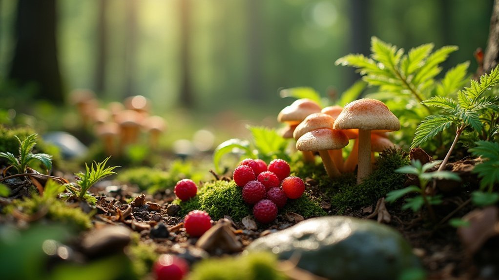
The best foraging apps to map wild food near you include Wild Edibles for its extensive plant database, Foraged for community-mapped spots, and Seek by iNaturalist for real-time identification. These apps use GPS to mark seasonal finds, highlight restricted areas, and offer safety features that warn about toxic look-alikes. You'll find seasonal alerts, community contributions, and sustainable harvesting guidelines to enhance your urban foraging adventures. Discover how technology can transform your connection to local edible landscapes.
Top Foraging Apps for Urban Explorers
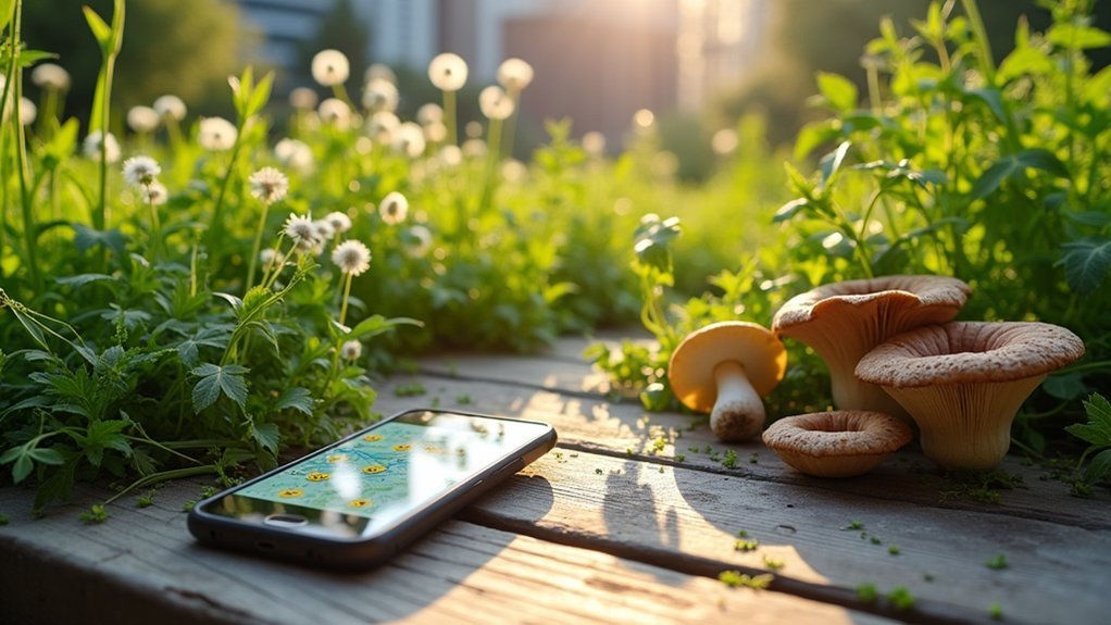
Why venture into the wilderness when the urban landscape offers a bounty of edible treasures? With the right app, you'll transform your city strolls into productive harvesting expeditions.
Start with Wild Edibles for its extensive North American plant database, or try Foraged to discover community-mapped foraging spots near you.
If you prefer real-time identification, Seek by iNaturalist's camera scanning feature instantly recognizes species you encounter.
For more detailed filtering, Forage lets you search by edible parts and toxicity levels—crucial for urban safety. Look for locations in larger public UGS which have been identified as popular foraging environments.
While not foraging-specific, PlantSnap excels at plant identification when you're uncertain what you've found.
These apps offer seasonal availability information, sustainable harvesting tips, and safety guidelines to guarantee your urban foraging adventures are both rewarding and responsible.
Using GPS to Locate Wild Edibles in City Parks
Three critical tools merge when you use GPS technology for urban foraging: location precision, plant identification, and legal awareness. Modern foraging apps leverage this technology to transform city parks into wild pantries at your fingertips.
GPS technology transforms urban environments into mapped food sources, merging modern navigation with ancient foraging practices.
- Pinpoint Precision – GPS capabilities allow you to mark exact locations of seasonal finds and return when plants are ready for harvest.
- Legal Navigation – Apps highlight areas with foraging restrictions, helping you avoid fines or confrontations with park officials. It's especially important to note that foraging is strictly illegal in Golden Gate Park and other city parks.
- Species-Specific Searches – Filter locations based on plants you're seeking, whether it's wild garlic in spring or autumn berries.
- Community Intelligence – User contributions create thorough, up-to-date maps of urban edibles that evolve with each season and discovery.
Remember that sustainable practices preserve these urban treasures for everyone.
Seasonal Mapping Features for Year-Round Harvesting
You'll never miss a harvest window with modern foraging apps that send time-based alerts when your favorite wild edibles are ready to pick.
These notifications can sync with your calendar, ensuring you're prepared to gather seasonal treasures like spring ramps or fall mushrooms precisely when they emerge.
Cross-season tracking tools also allow you to compare harvests year-over-year, helping you adapt to climate shifts and build a personalized foraging calendar based on your actual experiences. For apps like Forage – Wild Free Food, the ability to track locations using GPS and WiFi functionality helps foragers return to productive spots throughout different seasons.
Time-Based Harvest Alerts
Modern foraging apps have revolutionized seasonal harvesting through sophisticated time-based alert systems that notify users when specific plants, mushrooms, and wild edibles are ready for collection.
These tools transform the traditional guesswork of foraging into a precise science. Early spring mapping helps identify blossoming fruit trees that will yield harvests later in the season.
- Scout Ahead: Apps help you identify potential harvest sites based on seasonal changes, tracking blossom times for fruit trees and other growth indicators.
- Optimize Your Timing: Receive notifications about peak harvest periods for various species, ensuring you'll never miss the perfect moment to collect.
- Learn From Others: Community contributions through apps like iNaturalist allow you to benefit from collective knowledge about seasonal finds in your area.
- Prepare Effectively: Access educational content and recipes tailored to seasonal availability, helping you make the most of your time-sensitive harvests.
Cross-Season Tracking Tools
While time-based alerts focus on immediate harvesting opportunities, cross-season tracking tools extend this capability throughout the year.
Apps like The Forager's Calendar offer integrated seasonal mapping that guarantees you'll never miss harvest windows across different seasons.
These tools provide location-based plant records that categorize species by season and region, accounting for geographical variations in growth patterns.
You'll find detailed plant profiles showing flowering and fruiting timelines, helping you plan your foraging calendar months in advance.
Community features enhance these seasonal maps as users share observations and verify species identification through platforms like iNaturalist.
This collaborative approach creates dynamic, continuously updated seasonal data that's far more thorough than what any single forager could compile alone.
Many apps also include season-specific recipes, maximizing your harvest throughout the year. Apps like The Forager's Calendar help prevent users from missing foraging seasons through customized alerts and reminders.
Community-Sourced Foraging Spots and User Contributions
As digital communities continue to flourish, foraging apps have embraced the collective wisdom of users through community-sourced mapping and contribution features. These platforms transform individual knowledge into shared resources that benefit everyone in the foraging community.
Foragers now digitally pool their environmental wisdom, creating shared maps that turn solitary discoveries into community treasures.
- Collaborative Mapping – Apps like Falling Fruit and Fruit Map enable you to contribute to global foraging databases, marking edible finds on shared maps accessible to all users.
- Location-Based Sharing – Use Forage App to document plant species by location and season, helping others discover nearby edibles while building a robust seasonal database. The popular iNaturalist app offers extensive community input with many neighborhood posts that help foragers identify local opportunities.
- Personalized Contributions – Create and share customized Google Maps of your favorite foraging spots with specific communities or keep them private with Mushroom Spot.
- Knowledge Exchange – Participate in iNaturalist's biodiversity projects or join app forums to discuss findings and techniques with fellow foragers.
Safety Features and Look-Alike Warnings in Digital Guides
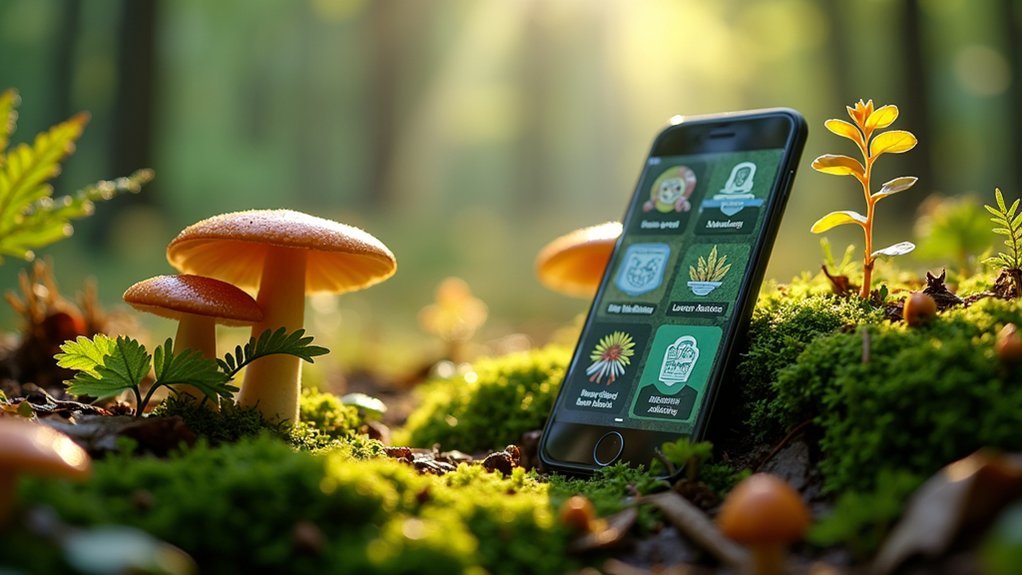
Modern foraging apps come equipped with robust warning systems that flag potentially dangerous species before you head out to collect them.
You'll find side-by-side visual comparisons that highlight subtle differences between edible plants and their toxic look-alikes, often using color-coding or warning symbols to catch your attention.
These safety features serve as your digital safeguard, though they work best when paired with field guides and expert knowledge rather than as your sole identification tool. Comprehensive safety guidelines educate users about potential risks while promoting responsible foraging practices.
Warning Systems Overview
Despite their convenience, foraging apps come with significant limitations when identifying potentially dangerous specimens. Most mushroom identification apps achieve only 40-60% accuracy with poisonous species, creating a dangerous false sense of security for novice foragers.
To use these tools responsibly:
- Never rely solely on an app for identifying edibles – cross-reference with field guides and expert consultation.
- Understand that poor-quality images and incorrect user submissions can compromise database accuracy.
- Pay close attention to look-alike warnings that highlight similarities between edible and toxic species.
- Utilize community forums where experienced foragers can verify your findings before consumption.
While these digital tools provide helpful starting points for identification, they should complement rather than replace traditional knowledge and expert verification when your health is at stake. French authorities have issued official warnings against using apps for mushroom identification after 1,269 poisoning cases were linked to app reliance.
Look-Alike Visual Comparisons
While traditional foraging knowledge remains irreplaceable, modern foraging apps have evolved to include sophisticated look-alike comparison features that considerably reduce identification errors. Apps like Shroomify and Picture Mushroom provide side-by-side HD visuals highlighting essential differences between similar species. The ability to download maps for offline use ensures these safety features remain accessible even in remote foraging locations without cell service.
You'll find these tools particularly valuable when examining potentially dangerous mushrooms, as they offer immediate toxicity alerts and edibility information with every identification.
| App Feature | Safety Benefit | User Experience |
|---|---|---|
| HD Comparison Images | Highlights subtle differences | Multiple viewing angles |
| Look-Alike Warnings | Prevents dangerous mistakes | Color-coded risk levels |
| Location Filtering | Narrows results to local species | Reduces confusion |
Most advanced apps now incorporate AI analysis of multiple characteristics, community feedback mechanisms, and seasonal recommendations tailored to your location—transforming complex visual identification into a more manageable process.
Sustainable Harvesting Practices Through Technology
As technology continues to reshape our relationship with nature, foraging apps have emerged as powerful tools for promoting sustainable harvesting practices. These platforms integrate education with action, helping you forage responsibly while preserving ecosystems for future generations.
- Rotation guidance – Apps recommend alternating harvest locations, preventing over-collection and allowing plant populations to recover naturally.
- Real-time regulations – Integration with land management agencies provides up-to-date information on protected areas and seasonal restrictions.
- Community accountability – Shared databases enable users to report overharvested areas and collaborate on conservation efforts. Collecting only what you need, ideally less than 5% of any plant population, ensures sustainable wild harvesting for years to come.
- Indigenous wisdom – Many apps now incorporate traditional ecological knowledge, teaching users to ask permission from the land and harvest with cultural sensitivity.
Frequently Asked Questions
Are Foraging Apps Accurate in Remote Wilderness Areas?
Foraging apps can work in remote areas, but accuracy varies. You'll find offline functionality essential, and you should always cross-verify identifications. Don't rely solely on apps for wilderness plant identification.
Do These Apps Work Without Cellular Data or Wi-Fi?
Some foraging apps work offline, like Book of Mushrooms and Picture Mushroom. You'll want to download content beforehand for GPS tracking, plant identification, and accessing databases when you're in areas without connectivity.
Can Foraging Apps Identify Poisonous Plants With 100% Accuracy?
No foraging app can identify poisonous plants with 100% accuracy. Even PictureThis, the most accurate app, only reaches 59% species identification accuracy for toxic plants. You should always verify findings with experts.
How Do Apps Handle Regional Variations in Wild Edible Species?
Foraging apps handle regional variations through location-based databases that show you only local species. They'll customize content based on your GPS location, providing region-specific identification guides, seasonal data, and local regulations.
Are There Subscription Costs Associated With Premium Identification Features?
Yes, you'll find subscription costs for premium identification features vary by app. Wild Edibles offers a one-time purchase, while others like PlantSnap likely have recurring subscription models for their advanced identification tools.
In Summary
You've got powerful tools at your fingertips to discover nature's bounty all around you. Whether you're identifying plants in urban parks or tracking seasonal changes, these apps transform your neighborhood into a wild food grocery store. Just remember to forage responsibly, verify your finds, and respect harvest limits. Download one today and you'll never look at your city landscape the same way again.


Leave a Reply