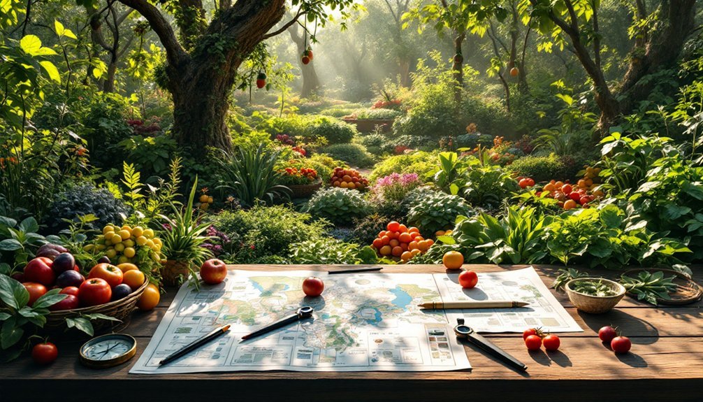
You'll need these 7 essential tools to map your food forest effectively: a theodolite for measuring angles and elevation, GPS device for precise location data, digital design software like Affinity Designer, Google Earth for terrain analysis, soil testing kit for ground assessment, mobile mapping apps for field documentation, and a reliable camera for progress tracking. These tools work together to create an accurate, detailed plan – and there's much more to discover about maximizing each one's potential.
Traditional Mapping and Surveying Equipment

The foundation of any successful food forest begins with accurate mapping and surveying equipment. When you're diving into traditional mapping, you'll need essential tools like theodolites to measure both horizontal and vertical angles, helping you determine precise land contours for your layout.
A leveling instrument, whether it's a builder's level or laser level, will guarantee your swales and planting rows follow the proper contour lines.
Don't forget to grab measuring tapes and surveyor's flags to mark boundaries and distances across your property. A compass will help you orient your design relative to cardinal directions, accounting for sun exposure and wind patterns.
You'll also want to reference topographic maps, which reveal elevation changes and natural drainage patterns vital for optimizing your food forest's design.
Digital Design Software and Applications
Modern mapping technology offers powerful digital alternatives to traditional surveying tools.
You'll find that digital design software like Affinity Designer and Inkscape enables you to create detailed maps and layouts for your food forest with precise visualization of every feature.
Google Earth stands out as an essential tool, helping you assess property slope and create contour maps.
Google Earth revolutionizes garden design by providing precise slope analysis and contour mapping for smarter landscape planning.
Using its Ruler tool, you can measure distances accurately to determine proper swale spacing.
For enhanced accuracy, you can generate contour maps through the Contour Map Creator website and import them into Google Earth, allowing you to align your garden features with the natural landscape.
These digital tools not only streamline your design process but also make it easier to share your vision with community members through clear visual representations.
GPS and Mobile Mapping Tools
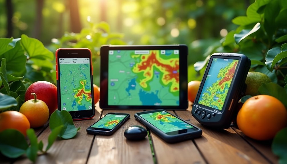
While traditional mapping methods still have their place, GPS and mobile mapping tools have revolutionized how you'll document and plan your food forest.
Modern GPS devices provide exact location data and elevation readings, letting you create precise layouts of your forest's contours and features.
You'll find GIS apps particularly useful as they allow you to layer different types of data, from soil composition to existing vegetation, onto your base map.
Many of these tools work offline, so you won't need internet access while in the field. You can easily measure distances between swales and determine ideal plant spacing using mobile mapping features.
These digital tools also make it easier to collaborate with others, as you can share your designs and collect feedback directly through mapped visualizations.
Aerial Photography and Satellite Imagery
Aerial photography and satellite imagery let you capture high-resolution views of your food forest site, revealing essential details about vegetation patterns, water features, and terrain contours.
You'll find these tools especially valuable for tracking historical changes in your landscape, helping you understand how the land has evolved and identifying areas that need restoration or enhancement.
Through platforms like Google Earth, you can spot natural features such as existing water flows and microclimates, making it easier to plan your food forest's layout and maximize its potential.
High-Resolution Site Mapping
Through the power of high-resolution site mapping, you'll gain invaluable insights into your food forest's terrain and existing features before breaking ground.
Modern mapping tools like Google Earth let you overlay multiple data layers, combining aerial views with contour maps to visualize your site's characteristics.
High-resolution site mapping reveals essential elements like drainage patterns, soil variations, and moisture-holding areas, helping you determine ideal locations for swales and plant placement.
You'll be able to track landscape changes over time, monitoring your food forest's growth and adapting your management strategies as needed.
This detailed visual data also makes it easier to engage with your community.
When you share clear, accessible representations of your planned layout, you'll find it natural to involve stakeholders and gather support for your food forest project.
Historical Landscape Changes
By examining decades of aerial photographs and satellite imagery, you'll discover the hidden history of your food forest site and make informed decisions about its future development.
These valuable tools reveal historical landscape changes through time-lapse sequences, showing how vegetation, soil conditions, and land use have evolved.
When analyzing your site's past, you can:
- Integrate aerial photos with GIS to create detailed layered maps
- Access historical imagery archives through government agencies and online platforms
- Combine satellite data with ground-level observations for thorough site assessment
Modern satellite technology offers multi-spectral data and broader coverage than traditional aerial photography, letting you track changes across larger areas.
This historical perspective helps you understand soil erosion patterns, vegetation growth trends, and previous land uses—essential knowledge for designing a thriving food forest that works with your site's natural history.
Identifying Natural Features
When planning your food forest, modern mapping technologies offer unprecedented insight into your site's natural features.
You'll find aerial photography particularly valuable for identifying natural features like tree lines, water bodies, and existing vegetation patterns in high resolution. By leveraging satellite imagery through platforms like Google Earth, you can analyze your property's broader topography and land use patterns.
Combining aerial views with topographic maps in Google Earth enables you to visualize elevation changes and natural drainage patterns essential for swale placement.
You can design your food forest layout by following the land's natural contours, optimizing water retention throughout your site. Remember to validate your digital findings with on-site observations to confirm your design aligns with actual ground conditions before implementation.
Soil Analysis and Site Assessment Tools
You'll need reliable soil testing kits and digital pH meters to understand your food forest's growing conditions accurately.
These essential tools help you measure soil acidity, nutrient levels, and organic matter content, guiding your plant selection and soil amendment decisions.
Digital pH meters offer quick, precise readings that complement thorough soil testing kits, allowing you to monitor changes in soil chemistry throughout your food forest's development.
Soil Testing Kits
Since successful food forest design hinges on understanding your soil composition, a reliable soil testing kit serves as your foundation for smart planning.
You'll want to focus on thorough kits that measure essential nutrients like nitrogen, phosphorus, and potassium, along with pH levels that typically need to stay between 6.0 and 7.0 for best growth.
Key features to look for in soil testing kits:
- Simple-to-follow sampling instructions that guarantee accurate representation of your site
- Quick and precise results for major nutrient levels
- pH testing capabilities to guide necessary amendments
Remember to conduct tests every 1-3 years as your food forest develops.
This regular monitoring lets you track changes in soil health and make timely adjustments to maintain ideal growing conditions for your plants.
Digital Ph Meters
Digital pH meters represent a significant upgrade from traditional testing kits, offering precise measurements essential for maintaining ideal soil conditions in your food forest.
You'll appreciate their easy-to-read LCD displays that show exact readings on a scale of 0 to 14, helping you make quick decisions about soil amendments for different plants.
To guarantee accuracy, you'll need to calibrate your meter regularly using provided solutions.
Many advanced models include useful features like temperature compensation and data logging capabilities, allowing you to track soil changes over time.
This detailed monitoring helps you identify potential nutrient issues before they affect your plants' health.
Water Flow and Contour Mapping Devices
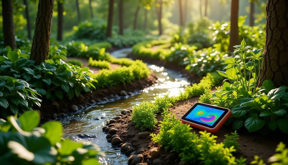
While planning a food forest requires careful consideration of many factors, mapping water flow and contours stands as one of the most critical steps. Google Earth is your essential tool for the job, offering powerful features to visualize terrain and determine ideal swale placement.
Use these key mapping tools to design your food forest effectively:
- Google Earth's Ruler tool to measure distances and calculate slope gradients through elevation profiles
- Contour Map Creator website to generate detailed topographical maps you can import into Google Earth
- Digital mapping tools to assess proper swale spacing, typically 5-20 meters apart based on your site's conditions
Start by placing your first swale at the property's highest point, then work downward following contour lines. This approach guarantees effective water management and prevents erosion throughout your food forest system.
Documentation and Progress Tracking Systems
To guarantee your food forest thrives long-term, you'll need robust documentation and progress tracking systems. Start by using a camera to capture visual changes in plant growth and garden development over time.
Keep a detailed notebook where you can record observations, sketch garden plans, and document community feedback that shapes your decisions.
Recording detailed observations, plans, and community input in a garden notebook creates a living blueprint for your food forest's evolution.
Integrate digital mapping tools like Google Earth alongside traditional contour maps to maintain accurate records of your food forest's layout.
Include weed identification resources in your documentation system to effectively manage invasive species.
Don't forget to implement an extensive seed saving and storage method – this will help you track which plant varieties perform best in your specific conditions.
These documentation tools work together to create a valuable knowledge base for your food forest's continued success.
Frequently Asked Questions
What Is the Difference Between Permaculture and Food Forest?
While permaculture's a broader design system for sustainable living that you'll apply to any landscape, a food forest's specifically a multi-layered garden system that you create to mimic natural forests for food production.
What Are the 7 Layers of the Food Forest?
You'll find seven distinct layers in a food forest: canopy trees at the top, sub-canopy trees below, shrubs, herbs, ground cover plants, rhizosphere (root crops), and vertical layers (vines) that climb upward.
How Much Does It Cost to Start a Food Forest?
You'll need between $500-$2,000 initially for your food forest, plus potential swale costs of $1,000-$3,000. You can reduce expenses through community volunteering, but expect annual maintenance costs of $200-$500.
How Many Acres Do You Need for a Food Forest?
You can start a food forest on just 1/10 of an acre for personal use. If you're planning a community project, you'll need 1-5 acres. The size depends on your goals and resources.
In Summary
These mapping tools will revolutionize how you plan and develop your food forest. Whether you're using traditional surveying equipment or cutting-edge digital software, you'll be better equipped to create a thriving ecosystem. Remember to combine multiple tools for the most thorough understanding of your land. Start mapping today, and you'll set yourself up for years of successful food forest management and abundant harvests.


Leave a Reply